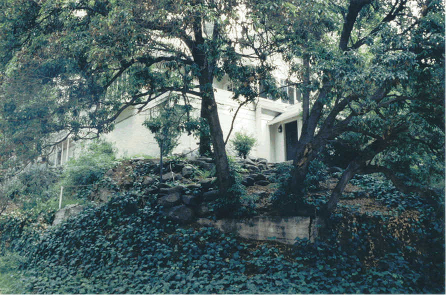
This picture below is might be not so typical for most of towns, nevertheless it is provided for illustration - how these two sub-manifolds (phytocenosis and building structures) of urban environment culture are in need to be included into physical and mathematical models reflecting quality of an urban air.
Urban ecologists know that any of these two manifold models should be involved into an urban healthy environment.
The approach when the two- and three phase medium Lower Atmospheric Boundary Layer definition - containing buildings, architecture elements and phytocenosis elements, was introduced and specified in works by Shcherban et al. (1986a,b), Primak et al. (1986,1989), (other studies) as the Urban Rough Layer (URL). This was suggested to make this medium to be used in the two-scale two-or three phase models of turbulent transport and air pollution in urban environment.
The physical modeling become reasonable when we present the total volume of ABL alltogether with the urban environment's structural elements as the two- or more physical phases or - as the multiphase physical problem.
Then we need to have structurized the phase and its morphological features as much exact as possible, using any available experimental approach. When we did this in 80-th, the only available, still with government restrictions, were the techniques based on the strict topographycal city maps.
In this way not only the buildings manifold (any and each electrical pole, bench, fence, small architectural element) was involved into the modeling and statistical observations, but in the same manner in some of our studies actually each element of urban phytocenosis (any tree, bush) and of buildings was included into the statistical treatments and results were used in models and simulation.
See more detail in the subsection -
It is believed, that up to now (2000-th) it is the only study in which the direct experimentally obtained morphometrical Urban phytocenosis elements were used in the correct (still simplified) VAT two scale two- and three phase local-nonlocal models and computer simulating codes. If this statement is obsolete I would be grateful to anyone for its correction.
Also we need to remember, that was the technology of 1980-th! No internet, GPS, and satellite available technologies at that time.
We won't be able to compare with the options given, for example, by Google Earth - http://earth.google.com/ now, I think is only for the one scale observation. The zooming - is still the only images communication, it's not the scaling analysis of images.
They can be close to scaling optics if use the HSP-VAT. We will see.
Being the participant of the NATO Advanced Study Institute PST.ASI.980064 in 2004 - "Flow and Transport Processes in Complex Obstructed Geometries: from Cities and Vegetative Canopies to Industrial Problems"
I had a possibility to observe the current "state of the art" in this field. With few of my remarks on this meeting reports one would get to know in the subsections -
"Modeling and Averaging in Meteorology of Heterogeneous Domains - Follow-up the NATO PST.ASI.980064"
and in
Shcherban, A.N., Primak, A.V., Travkin, V.S., "Simulation of Mass- and Heat Transfer Under Atmospheric Air Pollution in Towns and Industrial Centers", Prom. Teplotekhnika, Vol.5, No.4, pp.96-104, (1983), (in Russian).
Shcherban, A.N., Primak, A.V., and Travkin, V.S., "Mathematical models of flow and mass transfer in urban roughness layer," Problemy Kontrolya i Zaschita Atmosfery ot Zagryazneniya," No.12. pp.3-10, (1986a), (in Russian).
Shcherban, A.N., Primak, A.V., and Travkin, V.S., "Turbulent Transfer in Urban Agglomerations on the Basis of Experimental Statistical Models of Roughness Layer Morphological Properties", Trans. World Meteorol. Org. Conf. Air Pollution Mod. & Applic., WMO, Geneva, V.2, pp.259-266, (1986b).